
Sleeping Bear Dunes: Otter Creek Loop

Buy the $.99 downloadable map!
(This map is not geo-referenced)Buy the Geo-referenced map
for use in the Avenza Maps App
Trail Details
Geo-referenced maps from MichiganTrailMaps.com are available through Avenza Maps and range from $1.99 to $2.99 each.
Download the Avenza app from the App Store or Google Play


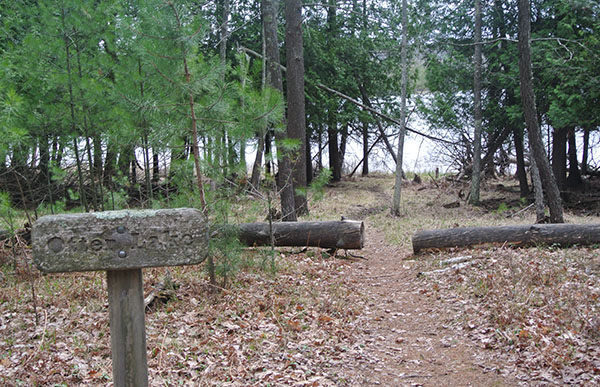

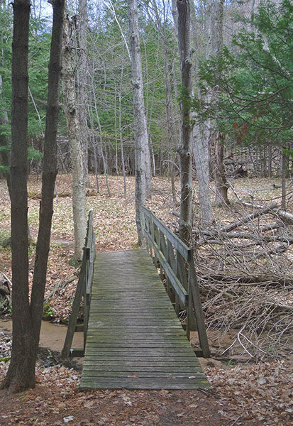
Otter Creek is described here as a 5.7-mile trek that combines the trail, a segment of Bass Lake Loop and portions of Aral and Deer Lake Roads, narrow, seasonal two-tracks. This route leads along both sides of the creek as well as the shorelines of three pristine lakes: Otter, Bass and Deer.
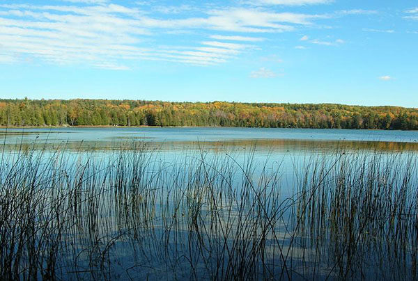
For many, the appeal of Otter Creek Loop is neither remote beaches nor its link to Michigan’s logging era but the possibility of viewing wildlife, particularly birds. The mix of woodlands, dunes, shoreline and shrub-scrub wetlands makes the area one of the best in the national lakeshore for birding. Among the birds that may be encountered are bald eagles, Sandhill cranes, herons, rails and a variety of waterfowl that frequent the creek and surrounding wetlands.
In late May, Otter Creek is an excellent place to see migrating warblers, while in the summer scarlet tanagers and Baltimore orioles can be spotted in the woods along the roads and two-tracks.
| Camping |
| Difficulty - Moderate |
| Foot Path |
Geo-referenced maps from MichiganTrailMaps.com range from $1.99 to $2.99 each.
Download the Avenza app from the App Store or Google Play
