
Sleeping Bear Dunes: Pyramid Point Trail
Buy the $.99 downloadable map!
(This map is not geo-referenced)Buy the Geo-referenced map
for use in the Avenza Maps App
Trail Details
Geo-referenced maps from MichiganTrailMaps.com are available through Avenza Maps and range from $1.99 to $2.99 each.
Download the Avenza app from the App Store or Google Play


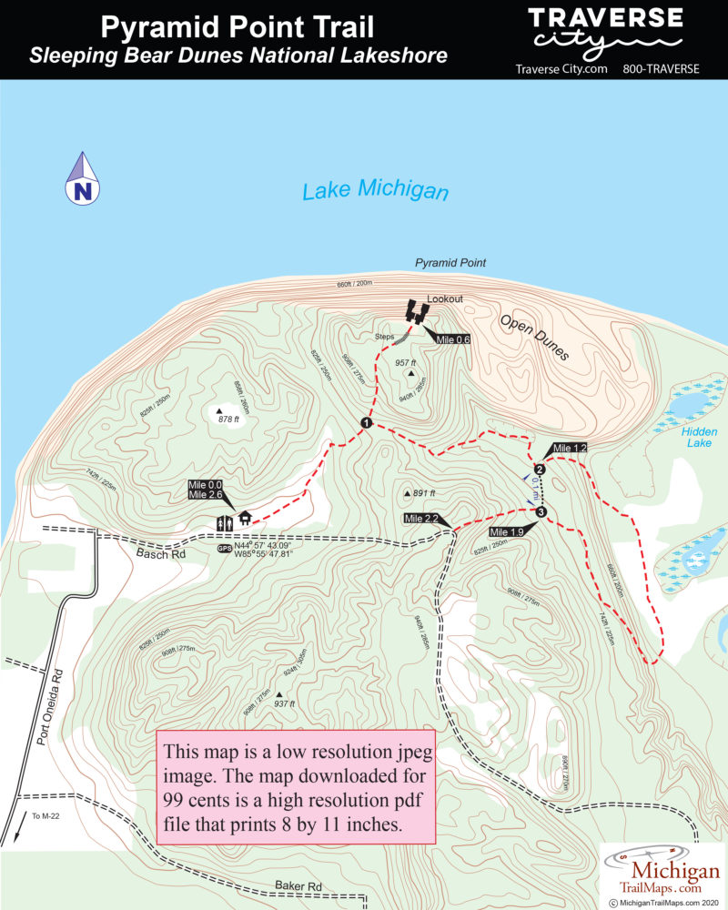
The hang gliders are long gone now but that blue panoramic that they leaped into is still there. In an area of the state known for its stunning views of sand dunes, islands and the pastel blues of Lake Michigan, Pyramid Point is one of the best. Part of the Sleeping Bear Dunes National Lakeshore, the point is a 2.6-mile trail that also traverses old farm fields and century-old beech-maple forests.
But to many the trail's most unique aspect isn't habitat or hang gliders. It's the off-the-beaten-path location of Pyramid Point. When the famous Dune Climb is crawling with people, it's still possible to lace up a pair of hiking boots and escape the summer crowds in this corner of the park.
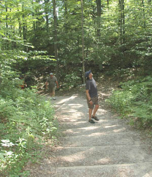
The vast majority of people who do find their way to the Pyramid Point trailhead merely hike to the Lookout for the view and then return, a round-trip of only 1.2 miles with a bit of climbing at the end. Beyond that you’ll usually have the trail to yourself and in early October will be dazzled by the fall forest. Along the way a cross-over spur allows you to shorten the walk to 2 miles.
| Difficulty - Moderate |
| Foot Path |
Geo-referenced maps from MichiganTrailMaps.com range from $1.99 to $2.99 each.
Download the Avenza app from the App Store or Google Play
