
Sleeping Bear Dunes: Shauger Hill Trail

Buy the $.99 downloadable map!
(This map is not geo-referenced)Buy the Geo-referenced map
for use in the Avenza Maps App
Trail Details
Geo-referenced maps from MichiganTrailMaps.com are available through Avenza Maps and range from $1.99 to $2.99 each.
Download the Avenza app from the App Store or Google Play


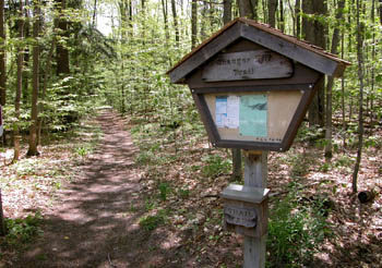
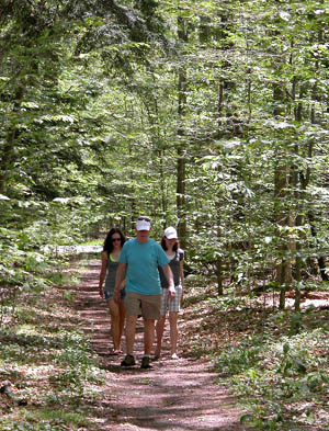
Shauger Hill Trail is a wooded 2.1-mile loop with a trailhead and parking area near the contact station at the beginning of Scenic Drive. The hilly trail passes through a climax beech-maple forest, red pine plantations and a few small clearings and twice crosses Shauger Hill Road as well as Pierce Stocking Drive.
In the spring the trail is an excellent one for wildflowers and to hunt for morels. In the fall the colors are superb and in the winter it’s hills are thrilling runs as part of the Scenic Drive Ski Trail. In the summer, however, it’s lack of outstanding views and shoreline, in a park filled with them, has most people looking elsewhere to hike. That makes Shauger Hill Trail the ultimate escape from crowds. Even when the viewing decks are packed and Pierce Stocking Scenic Drive is lined with slowly crawling vehicles, you will encounter few if any other people on this foot path.
And, of course, no mountain bikes as their activity is banned from almost all the national lakeshore trails.
| Difficulty - Moderate |
| Foot Path |
Geo-referenced maps from MichiganTrailMaps.com range from $1.99 to $2.99 each.
Download the Avenza app from the App Store or Google Play
