Spring Brook Pathway

Buy the $.99 downloadable map!
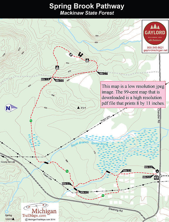
(This map is not geo-referenced)Trail Details
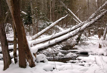

Spring Brook Pathway is a somewhat obscured trail, hidden among the heavily wooded Chandler Hills near the Charlevoix/Otsego/Cheboygan County border. Often overlooked except by locals, the pathway is a delightful winter route thanks to all that elevation.
The trail consists of two loops with the first one winding through a low-lying cedar swamp that surrounds gurgling Spring Brook. The second loop climbs to the top of a ridge where there are views of the rugged terrain that make this corner of Charlevoix County so unique and once home to Thunder Mountain Ski Area.
The first loop makes for a short and easy outing of 1.5 miles. The entire trail, including backtracking the segment that connects the two loops, is a 5-mile trek of moderate difficulty. In the winter Spring Brook is a backcountry ski, where you may or may not be breaking trail the entire way, or an excellent snowshoe route.
The rest of the year the trail is open to hikers and mountain bikers but keep in mind that the first loop will be wet, particularly in spring. One way to avoid this is to begin and end with the eastern half of the first loop, avoiding completely the western half and the cedar swamp along the stream.
The trail has been re-routed since 1990 and DNR maps are not totally accurate. They tend to show three loops but the middle of the trail system is no longer a loop.
| Difficulty - Moderate |
| Dog Friendly |
| Multi-use Trail |
Geo-referenced maps from MichiganTrailMaps.com range from $1.99 to $2.99 each.
Download the Avenza app from the App Store or Google Play


