
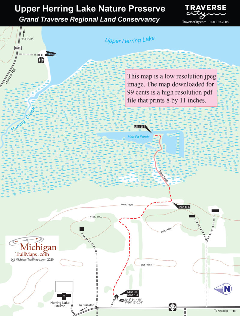
Upper Herring Lake Nature Preserve
Buy the $.99 downloadable map!
(This map is not geo-referenced)Trail Details

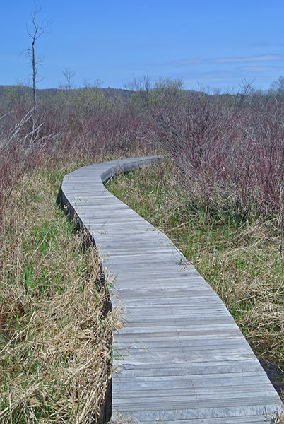
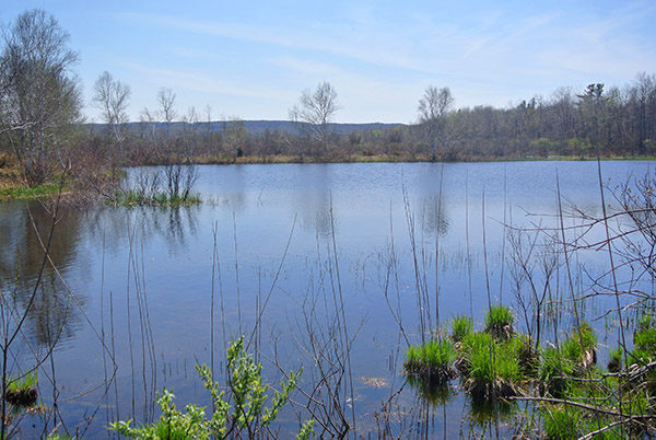
It’s this variety of habitats that allows Upper Herring Lake to provide a wide variety of birding opportunities. In the spring visitors can listen for bitterns and rails in the wet meadow and shrub swamp or spot woodcock darting overhead in the old fields. Waterfowl gather in the marl pit ponds while sandhill cranes are among the birds that nest there.
The heart of the preserve is the 2,800 feet of frontage along the west side of Upper Herring Lake. The 542-acre lake is connected to Lower Herring Lake via Herring Creek with M-22 extending north between them.
| Difficulty - Easy |
| Foot Path |
Geo-referenced maps from MichiganTrailMaps.com range from $1.99 to $2.99 each.
Download the Avenza app from the App Store or Google Play


