
Warner Creek Pathway-Pinney Bridge
Buy the $.99 downloadable map!
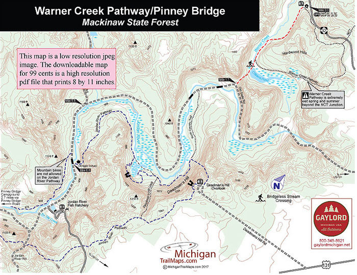
(This map is not geo-referenced)Trail Details
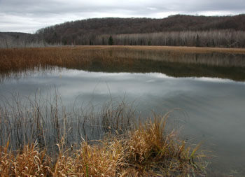

You begin on the Warner Creek Pathway that sidles a small valley dominated by O'Briens Pond. A short segment of the North Country Trail (NCT) leads south to Jordan River and Pinney Bridge Roads, which winds through the wild and beautiful Jordan River Valley.
The entire route to the Pinney Bridge State Forest Campground is a 12-mile, point-to-point ride or a 24-mile day if you backtrack to the Warner Creek Pathway Trailhead on M-32. To shorten the outing, merely turn around sooner along Pinney Bridge Road.
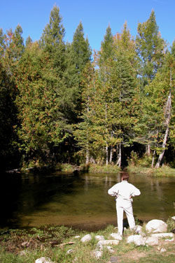
The Jordan River Valley is an 18,000-acre block of the Mackinaw State Forest, protected from future logging or gas development. Most of it is centered around the Jordan River, Michigan's first National Wild and Scenic River and a popular destination for anglers fishing for brook trout. Also winding through the valley is the Jordan River Pathway, an 18.7-mile loop that is not open to mountain biking.
According to one legend, the river was named by 19th century settlers who gazed over the forested valley from the edge of Deadman’s Hill and proclaimed that this must be the river to the promised land...the Jordan. The area was heavily logged in the early 1900s with lumberjacks leaving behind their telltale trademark, a sea of stumps. But since then the forest has recovered and now is proposed as an old growth forest area.
Deadman's Hill serves as the trailhead for the Jordan River Pathway and Pinney Bridge Campground, a walk-in rustic facility, is the halfway point where backpackers spend the night. Much of the valley floor is quite boggy and wet, the reason mountain bikes are not permitted on the state forest pathway.
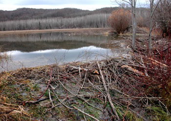
Beyond the junction with the NCT, Warner Creek Pathway can also be extremely wet in the spring and summer or after recent showers. Most of this route is dry but the beaver dam at O’Brien’s Pond can be a wet and muddy crossing at times.
| Difficulty - Easy |
| Two-Track |
Geo-referenced maps from MichiganTrailMaps.com range from $1.99 to $2.99 each.
Download the Avenza app from the App Store or Google Play


