
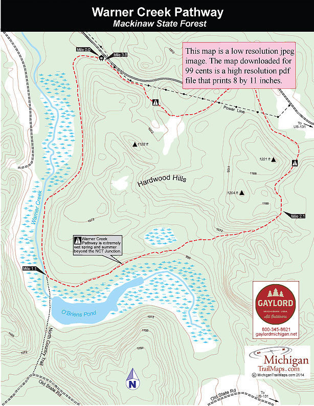
Warner Creek Pathway
Buy the $.99 downloadable map!
(This map is not geo-referenced)Trail Details

It's only a 15-minute drive down US-131 from the ski resort to the state forest pathway but there is no comparison between them. Boyne Mountain has groomed and tracked trails, a warming center, ski shop, restaurant and even chairlifts that would whisk us to the top of the mountain.
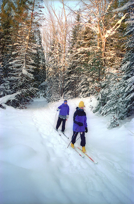
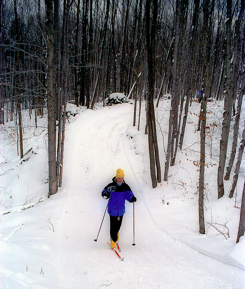
Warner Creek has the scenery and the solitude. If your timing is right this 3.8-mile loop in the Hardwood Hills can be one of the most beautiful skis in the Lower Peninsula.
Ours was perfect. We arrived at 4 p.m. the day after a heavy snowfall. Being late in the day, several skiers had preceded us and left behind a nice set of tracks. Being late December the sun was already beginning to descend, painting the hills above us in shades of pink and purple.
"Alpenglow," I said to my daughter as we paused on the trail and watched the tops of Hardwood Hills briefly ignite into a fiery display of colors.
Hardwood Hills is a rugged slice of the Mackinaw State Forest 15 miles west of Gaylord. But most of the pathway is a surprisingly level and easy ski, as if whoever laid it out knew you just wanted to shuffle along and enjoy the winter woods.
Other than winter on cross-country skis or snowshoes, this loop can be a tough trail to follow past O'Briens Pond due to excessive water and swamps. Mountain bikers should check out Warner Creek/Pinney Bridge route for an adventorous ride that avoids the wet areas of the loop.
| Difficulty - Easy |
| Multi-use Trail |
Geo-referenced maps from MichiganTrailMaps.com range from $1.99 to $2.99 each.
Download the Avenza app from the App Store or Google Play


