Wolf Creek Trail

Buy the $.99 downloadable map!
(This map is not geo-referenced)Trail Details

Wolf Creek is described by the National Forest Service as a “semi-primitive experience.” Yet it’s main trailhead is located right in the heart of Mio, Michigan. This is an unusual trail to say the least.
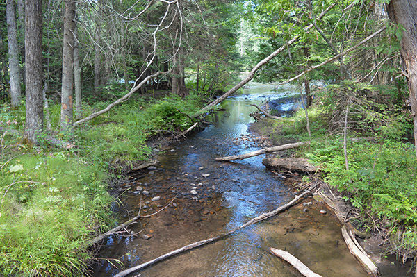
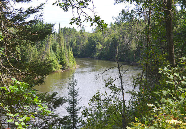
Part of the Huron National Forest, the Wolf Creek Trail was rebuilt in 2012 and today totals 4.8 miles along four loops with most of them adjacent to the system’s main feature – almost 3 miles of the Au Sable River.
In the summer, many hikers begin at a bustling DNR canoe launch and picnic area, right off M-72/M-33 and within a stone’s throw of Mio’s two major canoe liveries. But within minutes of the parking lot, the canoe crowd disappears, replaced by a foot path winding through the woods and passing sweeping views of Michigan’s most famous river.
In the winter, most cross-country skiers begin at a trailhead along South River Road, 2 miles from Mio, and rarely see anybody on the Au Sable. In this cold and snowy time of year, Wolf Creek Trail leads them into a heavily forested area that is definitely semi-primitive.
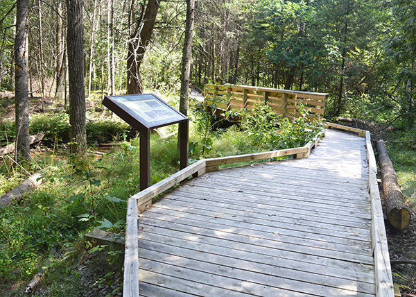
The non-motorized trail is open to hikers, mountain bikers, cross-country skiers and snowshoers and is designed for loops as short as 1.8 miles to one described below, a 4.2-mile outing. Skiers will encounter a few downhill runs but not the death-defying slopes encountered at nearby Loud Creek Ski Trail, making Wolf Creek an easy ski overall.
| Difficulty - Easy |
| Dog Friendly |
| Multi-use Trail |
Geo-referenced maps from MichiganTrailMaps.com range from $1.99 to $2.99 each.
Download the Avenza app from the App Store or Google Play


