
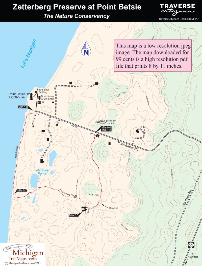
Zetterberg Preserve at Point Betsie
Buy the $.99 downloadable map!
(This map is not geo-referenced)Trail Details
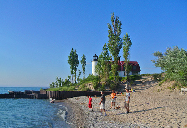

But Point Betsie is more than a picturesque lighthouse or a place to watch sunsets. It is also a natural wonder, a dynamic mosaic of shifting sand dunes and Lake Michigan shoreline. The Michigan Chapter of the Nature Conservancy began preserving the sand dune habitat in 1988 when Steve and Connie Zetterberg donated the 71 acres adjacent to the lighthouse. First known as the Point Betsie Natural Preserve, the area has since been enlarged to 100 acres and renamed the Zetterberg Preserve of Point Betsie.
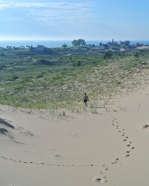
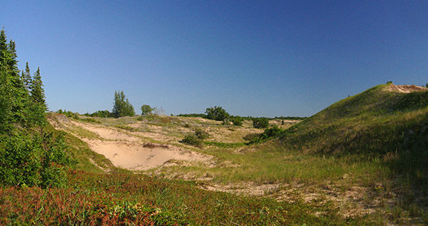
Most of the point is fragile open dune habitat extending a half mile east from Lake Michigan. But the preserve also contains interdunal wetlands and tracts of boreal forest. Flora ranges from Michigan lily, marram grass, beach pea and hoary puccoon in the open dunes to forested islands of balsam fir, paper birch, red oak and creeping juniper. Thriving within the preserve are threatened species such as Pitcher's thistle, fascicled broomrape and the Lake Huron locust.
Point Betsie is also an important resting site for migratory birds and offers excellent birding opportunities during the peak migration periods in May and late August through September. Migrating species include the peregrine falcon while cedar waxwings are often spotted in the pockets of forest and sandpiper and killdeer along the beach.
Other than a short segment of trail that extends south of Point Betsie Road, there are no official foot trails in the Zetterberg Preserve so the Nature Conservancy asks visitors to respect the fragile ecosystem when hiking. The majority of this popular 1.2-mile loop is along the trail, the shoreline and Point Betsie Road, with only a half mile of unmarked route through the open dunes.
| Difficulty - Moderate |
| Foot Path |
Geo-referenced maps from MichiganTrailMaps.com range from $1.99 to $2.99 each.
Download the Avenza app from the App Store or Google Play


