320

Trails Reviewed

Find Trails & Maps

Search for Trail
Search by Location
Search by

Back to listing

Arcadia Dunes: Camp Trails


Buy the Geo-referenced map
for use in the Avenza Maps App

Trail Details

County
Benzie
Regions
Northwest
Latitude
N 44° 30' 42.84"
Longitude
W 086° 13' 38.64"
Distance
3.7 miles
Trail Type
Multi-use trail
Terrain
Hardwood forests, meadows
Difficulty
Easy to intermediate
Nearest City or Town
Arcadia
(map loads here)
view map
Avenza Maps
Geo-referenced maps from MichiganTrailMaps.com are available through Avenza Maps and range from $1.99 to $2.99 each.

Download the Avenza app from the App Store or Google Play

App Store Google Play

Complementing Dry Hill Trails in Arcadia Dunes-C.S. Mott Nature Preserve and integrated with Abbey’s Woods is Camp Arcadia Trail. Originally Camp Trail was laid out along fairly level terrain, making the 3-mile loop much more appealing to those just getting into off-road cycling. In 2019, the Norman Road spur was added, providing an additional mile of much more challenging terrain for mountain bikers.
Expand All
Photos
Description
Complementing Dry Hill Trails in Arcadia Dunes-C.S. Mott Nature Preserve and integrated with Abbey’s Woods is Camp Arcadia Trail.

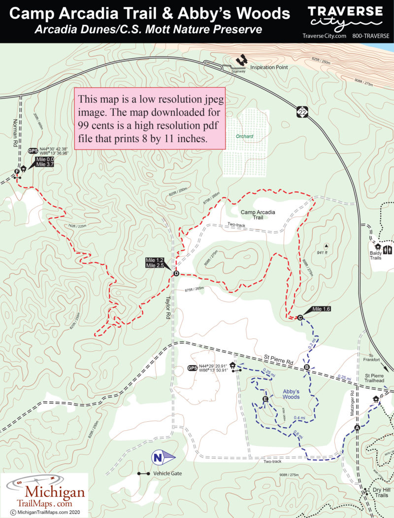
Dry Hill, a nearly 10-mile loop, was designed by mountain bikers as an intermediate run of quick rolling hills and numerous long uphill sections. In contrast, Camp Trail was laid out along fairly level terrain, making the 3-mile loop much more appealing to those just getting into off-road cycling. In 2019, the Norman Road spur was added, providing an additional mile of much more challenging terrain for mountain bikers.

Camp Trail can be accessed from three different trailheads with two of them passing through Abby’s Woods to create easy, non-technical outings through forests, open fields and old orchards. From the Abby’s Woods trailhead on St. Pierre Road, Camp Trail is a 3-mile loop that includes backtracking the final 0.85 miles. From the St. Pierre Trailhead just off M-22, Camp Trail is a 3.7-mile outing with a mile of backtracking. You can avoid doubling back on either and shorten the rides by following St. Pierre Road at the end for a quarter mile back to the trailheads.

For a ride of intermediate difficulty, mountain bikers begin at the Norman Road trail with a heart-pounding climb of more than a mile before merging into the Camp Trail loop. Needless to say, this 3.7-mile outing finishes with a wild downhill run.

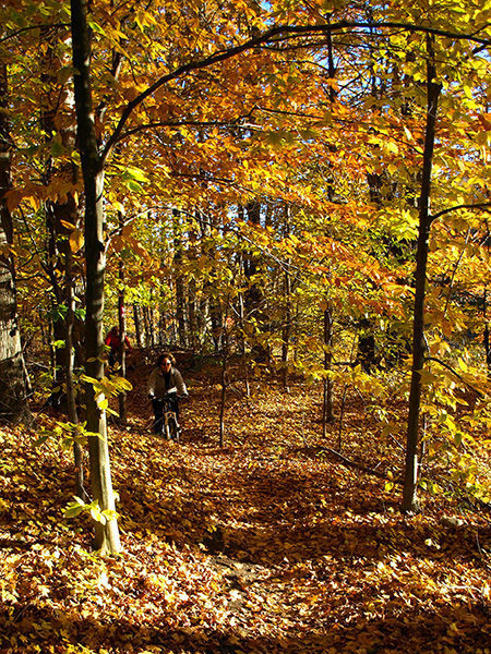
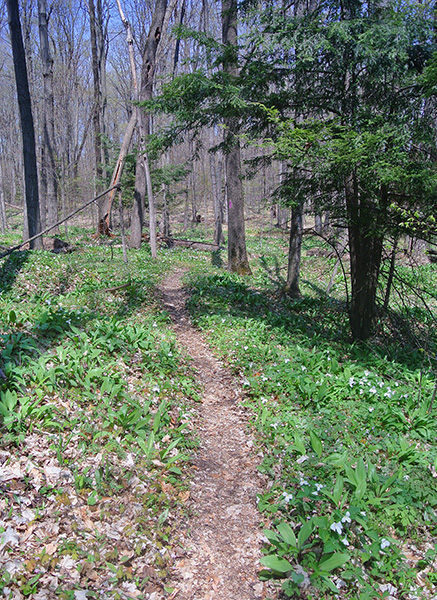
Camp Arcadia like Dry Hill and Abby’s Woods is a multi-use trail enjoyed by hikers much of the year and snowshoers in the winter.
Amenities & Services
Foot Path
Mountain Bike Single Track
Trail Guide

From Norman Road, Camp Arcadia Trail immediately skirts an open meadow and then begins climbing. The spur is basically an uphill workout for more than a mile, most of it sidling the east side of a ridge with switchbacks leading around a series of small ravines.

You gain 250 feet in elevation before popping out of the woods and crossing Taylor Road, a rough two-track, and reaching Post D at Mile 1.2. The post marks where the Norman Road Trail merges into Camp Trail’s main loop, which can be followed in either direction. Head right in a counterclockwise direction and the trail skirts a large meadow before entering the woods and arriving at Post C at Mile 1.6. It’s less than a quarter mile south to St. Pierre Road at this point.

The left-hand fork continues the loop and within a third of a mile you’ll be weaving through a forest on the edge of a former farm field, now another open meadow. The trail is just inside the trees as the meadow remains in view for more than a half mile. At Mile 2.5, you cross a grassy two-track for the second time and return to Post D and Taylor Road.

The final segment is a downhill reward for all the work you did in the beginning. Enjoy because in this direction the trail is a fast-flowing descent almost all the way to Norman Road but not as challenging as parts of Dry Hill Trail or the mountain bike loops at Palmer Woods near Glen Arbor.

Facilities

There is limited parking and no other facilities at the Norman Road trailhead.

Hours & Fees

There is are no vehicle entry fees at Arcadia Dunes. The nature preserve is open year-round.

Directions

The Norman Road trailhead is reached from M-22 a mile north of Arcadia or 10 miles south of Elberta. Turn east on Norman Road and the trailhead – Post F – is reached in a quarter mile.

Information

For more information, contact the Grand Traverse Regional Land Conservancy at (231-929-7911; www.gtrlc.org). For lodging or travel information contact Traverse City Tourism (800-872-8377; www.traversecity.com).


Geo-referenced maps from MichiganTrailMaps.com range from $1.99 to $2.99 each.

Download the Avenza app from the App Store or Google Play

App Store Google Play

Michigan TrailMaps.com Michigan's Premier Trail Resource Contact

Trail Mix News

by travel and outdoor writer Jim DuFresne!

Sign Up
Enews Signup
Find a Trail

Find Trails & Maps

Search for Trail
Search by Location
Search by