
Arcadia Dunes: Pete's Woods
Buy the $.99 downloadable map!
(This map is not geo-referenced)Buy the Geo-referenced map
for use in the Avenza Maps App
Trail Details
Geo-referenced maps from MichiganTrailMaps.com are available through Avenza Maps and range from $1.99 to $2.99 each.
Download the Avenza app from the App Store or Google Play


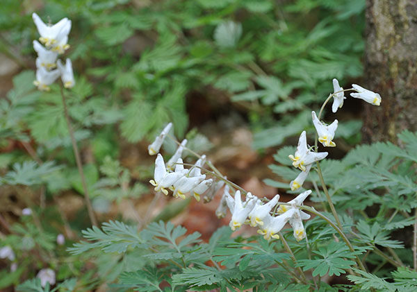
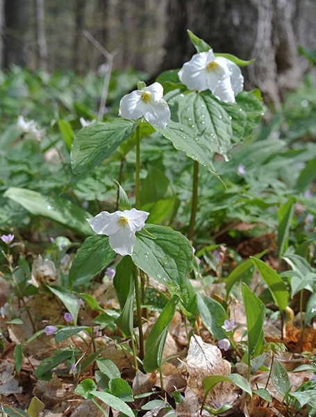

Swamp Road may lead to the 135-acre tract but Pete’s Woods is a second growth, beech-maple forest crowned by century-old trees. Stewardship of the preserve includes the removal of garlic mustard, an invasive species, which improves the diversity of the understory. In short, more wildflowers. During the brief window between spring thaw and summer leaf-out – sometime between late April and early June – blooms will range from spring beauty and Dutchman’s breeches to squirrel corn, yellow trout lily and bellworth. Trilliums are a given. So are morel mushrooms.
The preserve is named after Pedro Rodriguez, who with his wife, Iva, owned the forested ravines and the adjoining farm where they grew corn for cattle from 1928 to 1971. Consumer’s Power purchased the land in 1971 and the Grand Traverse Regional Land Conservancy permanently protected Pete’s Woods in 2005 as part of Arcadia Dunes.
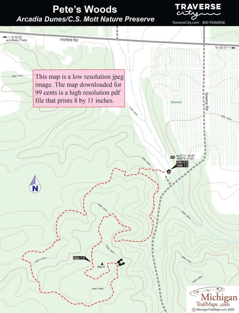
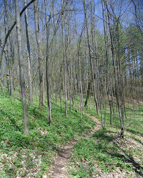
Pete’s Woods Trail is a 1.5-mile loop up and around a forested ridge. The landscape is hilly, but the hiking is surprisingly easy as the gradual climbs follow the natural contours of the ridge. Although mountain bikes are allowed, off-road cyclists are encouraged to ride at nearby Dry Hill Trail, a trail system designed for them.
If Swamp Road is passable, Pete’s Woods is a delightful snowshoe trek and in October the northern hardwood forests make it a place to view fall colors. But it’s spring when you want to be here when the wildflower display is unparallel anywhere else.
| Difficulty - Easy |
| Foot Path |
Geo-referenced maps from MichiganTrailMaps.com range from $1.99 to $2.99 each.
Download the Avenza app from the App Store or Google Play
