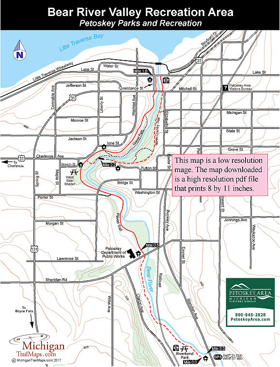
Bear River Valley Recreation Area
Buy the $.99 downloadable map!
(This map is not geo-referenced)Trail Details
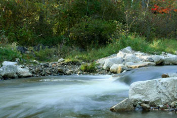
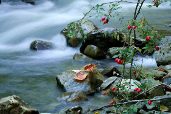
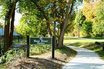
But the river and rugged gorge it created at the end is also the focal point of the trail system of the Bear River Valley Recreation Area, Petoskey’s newest park. Dedicated in 2011, the 36-acre recreation area stretches along both sides of the river from the Lake Street Bridge to the Standish Ave Bridge. In between, in the middle of this city, is a narrow valley in a natural setting characterized by steep, wooded bluffs, open meadows and a river churning in whitewater.
The park is best known for it’s kayaking but also provides opportunities for hiking, cycling, inline skating and Nordic skiing in the winter. The trail system is a mix of paved trails and natural paths that is utilized by the North Country Trail as part of its North Dakota-to-New York system.
The paved trail begins at Sheridan Street trailhead and extends a mile along the east bank of the river to Mineral Well Park at Lake Street. Unpaved paths run from Riverbend Park off Standish Avenue to Sheridan Street, along the parts of the west bank and as short spurs that descend down to the river. The North Country Trail, marked in blue blazes, winds along both banks, crossing the river on a foot bridge.
The trail described below is a round-trip from Riverbend Park that includes backtracking almost a mile for a 3.3-mile outing. Beginning at the Sheridan Street trailhead would reduce mileage to 2.2 miles and starting at Lake Street and walking both sides of the river to the pedestrian bridge would be a 1.2-mile loop.
The best time to be on the trail to watch kayakers play in the whitewater is in the May and early June when the river is at its highest. Check the calendar on the Northern Michigan Paddling Club’s website (www.northernmichiganpaddlingclub.com) for paddling events that are held on the Bear River.
| Difficulty - Easy |
| Dog Friendly |
| Foot Path |
| Multi-use Trail |
| Paved Trail |
Geo-referenced maps from MichiganTrailMaps.com range from $1.99 to $2.99 each.
Download the Avenza app from the App Store or Google Play


