320

Trails Reviewed

Find Trails & Maps

Search for Trail
Search by Location
Search by

Back to listing

Huron County Nature Center: Wilderness Bike/Hike Trail

Trail Details

County
Huron
Regions
Lake Huron (Includes the Thumb)
Latitude
N 43° 59' 35.88"
Longitude
W 083° 06' 48.96"
Distance
3.7 miles
Trail Type
Single track
Terrain
Dune-and-swale ecosystem
Difficulty
Easy
Nearest City or Town
Port Austin
(map loads here)
view map
The Huron County Nature Center's Wilderness Bike/Hike Trail is designed for off-road cycling and located less than a half mile from it's walking trail. The series of five loops makes for a 3.7-mile ride along a single track that follows ridges separated by swales.
Expand All
Photos
Description
Caution - The Wilderness Bike/Hike Trail is still under construction. Not all loops will be open at times.

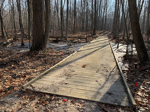
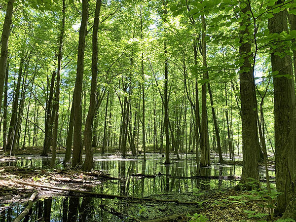
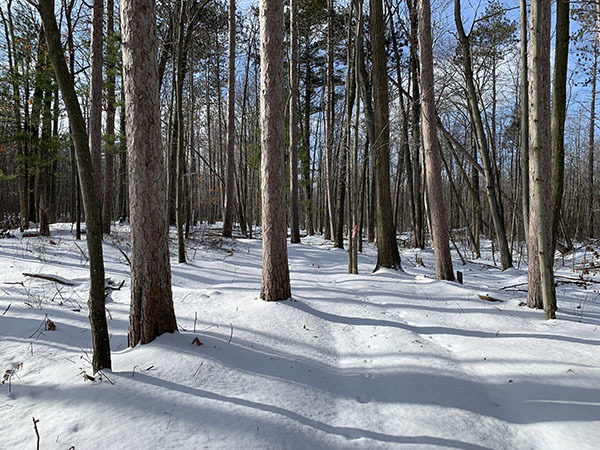
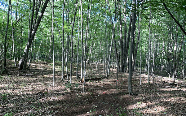
In a region of the state that needs more trail choices, the Huron County Nature Center added a new one in 2020. The Wilderness Bike/Hike Trail is designed for off-road cycling and located less than a half mile from the Boardwalk Marsh Loop, the center's walking trail. The direction of travel on all loops is counterclockwise to avoid unexpected encounters between trail users. Combing all the loops and connecting trails makes for 3.7-mile ride along a single track that follows ridges separated by swales. This tract is considerably wetter than the walking trails on the north side of Loosemore.
Amenities & Services
Difficulty - Easy
Mountain Bike Single Track
Multi-use Trail
Trail Guide

From the Loosemore Trailhead, a short spur leads directly onto Loop One, where directional signs have you heading right. The initial loop is 0.4 miles and the easiest of the five with relatively flat terrain, making it ideal for beginner mountain bikers.

Within a quarter-mile you reach the first boardwalk that crosses a swale to Loop Two. Directional signs will keep you riding counterclockwise on the 0.7-mile loop as well as Loop Three, the longest at 1 mile.  Both loops feature the most challenging terrain.  They follow a pair of dry wooded dunes, dropping at times down the slope toward the swales before climbing back up.  Large stands of oak and aspen provide welcome shade in the summer on the trail, colorful leaves cover the slopes in late autumn.

After a third boardwalk, the connector trail swings east for Loops Four and Five, crossing another wet area that will feature the newest boardwalk, tentatively scheduled to be built in the fall of 2020. The final two loops have more gentle and shorter descents and climbs than the previous two. They also give you a sense of being “deep in the woods,” often confirmed when you encounter a white-tail deer or wild turkeys scurrying into the forest.

Facilities

Other than parking, there are no facilities at the Wilderness Bike/Hike Trailhead.

Hours & Fees

The Wilderness Bike/Hike Trail is open year-round. There are no entry or vehicle fees to use the trail.

Directions

To reach the Wilderness Bike/Hike Trailhead, head east of Caseville on M-25 for 9 miles and then turn south of Oak Beach Road for a block and east on Loosemore Road. The trailhead is a half mile east on the south side of Loosemore Road. From Port Austin Oak Beach Road is 9 miles to the west.

Information

For more information go to the Huron County Nature Center web site (www.huronnaturecenter.org) or call the center office at 989-856-5030.


Geo-referenced maps from MichiganTrailMaps.com range from $1.99 to $2.99 each.

Download the Avenza app from the App Store or Google Play

App Store Google Play

Michigan TrailMaps.com Michigan's Premier Trail Resource Contact

Trail Mix News

by travel and outdoor writer Jim DuFresne!

Sign Up
Enews Signup
Find a Trail

Find Trails & Maps

Search for Trail
Search by Location
Search by