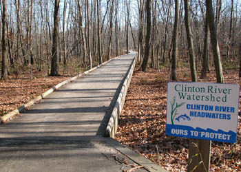
Independence Oaks County Park: River Loop

Trail Details

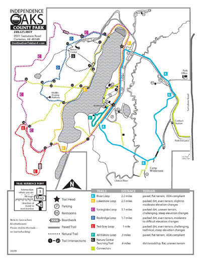
| Difficulty - Easy |
| Dog Friendly |
| Multi-use Trail |
| Paved Trail |
Geo-referenced maps from MichiganTrailMaps.com range from $1.99 to $2.99 each.
Download the Avenza app from the App Store or Google Play


