Ingham Conservation Center
Buy the $.99 downloadable map!
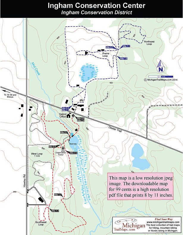
(This map is not geo-referenced)Trail Details


Kitty corner to the Ingram Conservation Center is a working farm called Rolling View. How appropriate.
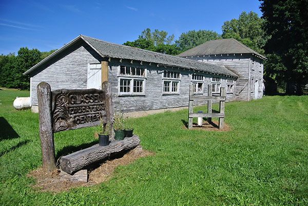
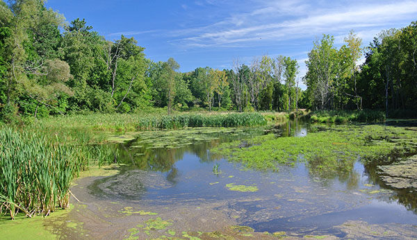
In the agricultural heart of Ingham County, the Ingram Conservation District property is a 200-acre green space that is scattered with remnants of its farming past, from old barns to equipment abandoned in fallow fields. But the center also features wetlands, ponds, hardwood forests and wildlife that thrives there. Winding across the tract is a 5-mile network of foot paths that provides urban dwellers an opportunity for a walk in the country.
Split by Dexter Trail Road, the tract was purchased by the state in the early 1900s to showcase Michigan’s abundant wildlife. In 1917 it became the Mason State Game Farm for the purpose of breeding and releasing game, including Canada geese that had disappeared at the turn of the century. The game farm was closed in 1994 and in 2000 the Department of Natural Resources sold the property to the Ingram Conservation District as a way to preserve it as a natural green space and keep it open to the public.
The trail system is a combination of old two tracks, foot paths and mowed lanes with more than 3 miles of it located in the 120-acre portion south of Dexter Trail. Both sections of the trail make for short, easy hikes that are ideal outings for families, particularly in the fall to enjoy the changing colors. The trail description here includes a 2.4-mile loop in the southern half of the center and a 2-mile loop in the northern half.
| Difficulty - Easy |
| Dog Friendly |
| Foot Path |
Geo-referenced maps from MichiganTrailMaps.com range from $1.99 to $2.99 each.
Download the Avenza app from the App Store or Google Play


