
Krumwiede Forest Reserve
Buy the $.99 downloadable map!
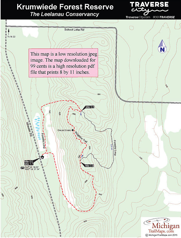
(This map is not geo-referenced)Trail Details

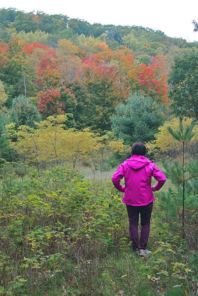

There are no panoramas of Lake Michigan or islands or golden dunes towering above the shoreline. In the middle of the summer, when the foliage is thick and green, there are no views at all. But in October, climb the ridge that dominates the 110-acre tract and the hardwoods will be burning with autumn reds, yellows, oranges and purples.
At times like this every step of your hike is a sight to behold.
Located almost due east of Glen Arbor and within a mile of Sleeping Bear Dunes National Lakeshore in three different directions, Krumwiede is Leelanau Conservancy’s first forest reserve. When the Krumwiede family donated a conservation easement on the land in 1997, they reserved the right to manage the forest as a commercial timberland. When they donated the land outright to the Leelanau Conservancy in 2007, the commercial harvests continued as a way to demonstrate and promote sustainable timber production.
Krumwiede is an excellent example of the powerful glacial activity that took place in Michigan more than 10,000 years ago. Signs of glaciers are everywhere in the reserve. The 241-foot high ridge is a lateral moraine, a parallel ridge of debris deposited along the sides of a glacier. The valley west of the ridge, which Wheeler Road winds through, is an ancient glacial drainage channel. Crowning the ridge, right along the trail, is an erratic, a huge boulder that was deposited after the glaciers receded.
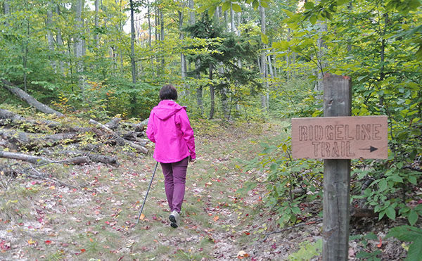
Winding up, over and around the Krumwiede ridge are the reserve’s 2.2 miles of trails. Forestry Loop is the perimeter of the system, a 1.8-mile trek. This hike, however, is a 1.7-mile outing that includes the Ridgeline Trail, which departs from the Forestry Loop to follow the crest of the ridge.
| Difficulty - Moderate |
| Foot Path |
Geo-referenced maps from MichiganTrailMaps.com range from $1.99 to $2.99 each.
Download the Avenza app from the App Store or Google Play


