Ludington State Park: Skyline Trail Loop

Buy the $.99 downloadable map!
(This map is not geo-referenced)Trail Details

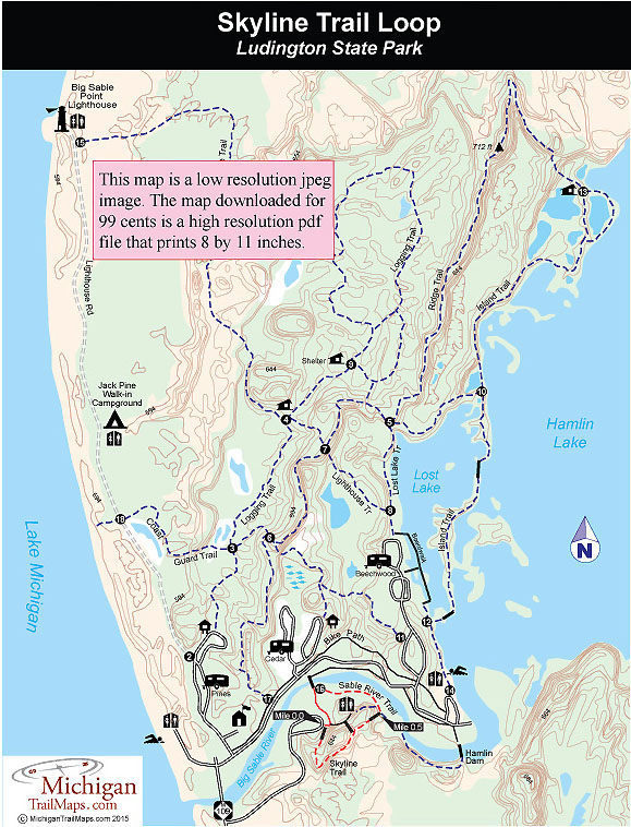
Three stairways provide access to the Skyline Trail. They are located in the parking lot on the south side of the Sable River, near the center of the trail and along Sable River Trail. By following a portion of the Sable River Trail and the Skyline Trail in a clockwise direction from the parking lot, you’ll make a 1-mile loop and encounter the interpretive posts in numerical order.
There are thirteen numbered posts along the boardwalk that correspond to information in a brochure available from map boxes at the foot of each staircase or can be downloaded from this site. They identify the three common evergreens in Michigan, explain dune country succession, and point out stumps and other remnants of the loggers who arrived in 1851 to cut down the white pine.
| Camping |
| Difficulty - Moderate |
| Foot Path |
Geo-referenced maps from MichiganTrailMaps.com range from $1.99 to $2.99 each.
Download the Avenza app from the App Store or Google Play


