320

Trails Reviewed

Find Trails & Maps

Search for Trail
Search by Location
Search by

Back to listing

Lutz County Park

Trail Details

County
Livingston
Regions
Southeast
Latitude
N 42° 46' 7.32"
Longitude
W 083° 53' 56.40"
Distance
2 miles
Trail Type
Foot path
Terrain
Meadows and hardwood forests
Difficulty
Easy
Nearest City or Town
Linden
(map loads here)
view map
Half hidden in Deerfield Township, bypassed by many looking for a hike, Lutz County Park is one of Livingston County’s most unusual preserves. The 300-acre park just south of the Genesee County border, was originally a farm and today lies adjacent to Oak Grove State Game Area. Winding through the park is a nearly 3-mile network of foot paths, mowed lanes and old two-tracks.
Expand All
Photos
Description
Half hidden in Deerfield Township, bypassed by many looking for a hike, Lutz County Park is one of Livingston County’s most unusual preserves. The 300-acre park just south of the Genesee County border was originally a farm and today lies adjacent to Oak Grove State Game Area.

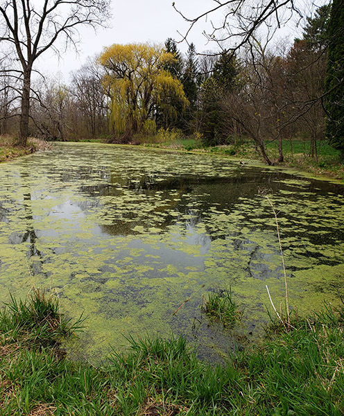
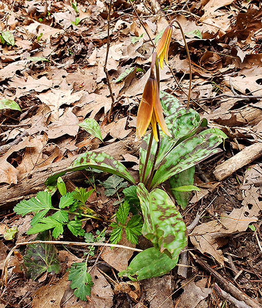
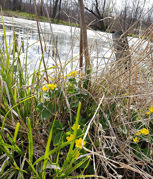
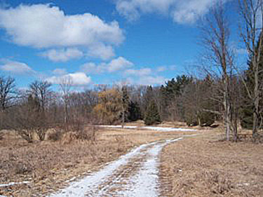
Much of the terrain of Lutz County Park is old farm fields and the grassy meadow of a restored prairie. In the northern half, however, is an upland hardwood forest of oaks, maples and elms while in the center is a pond that attracts an impressive number of birds. Winding through the park is a nearly 3-mile network of footpaths, mowed lanes and old two-tracks.

The preserve was the result of Owen Lutz gifting his beloved 300-acre farm to the county with an agreement that it would be used as a county park. Lutz was born at the homestead and ultimately lived and farmed the land for more than 60 years.  Prior to his death in 2004, Lutz was frequently seen walking the property with staff, laying out a portion of the current trail system.

Lutz County Park opened in 2008 with 100 acres developed for recreation use that included trails, trailhead parking area on Lutz Road, picnic tables, vault toilet and benches. The route described here is a 2-mile loop that follows the perimeter of the trail system.
Amenities & Services
Difficulty - Easy
Dog Friendly
Foot Path
Trail Guide

Following the loop in a clockwise direction, you head west out of the trailhead parking lot. The first the leg of the route skirts the restored prairie that in the spring can be a colorful meadow of wildflowers. Bypass the first junction and in less than a quarter mile the perimeter loop will swing north and follow the tree line. The next half mile can a wet in the spring or after a heavy rainfall. If so, choose another trail and bypass this stretch.

At Mile 0.5 you reach the pond and skirt its east end. This watery oasis is the home of frogs, turtles and even salamanders and an ideal stopover for migrating birds, especially sandhill cranes, in the spring and fall. The perimeter trail wraps around the pond, passes a junction to one of the park’s picnic tables and then enters the woods and begins climbing. Within a hundred yards you top off at a junction. To the right is what use to be labeled the Farm Trail. To the right the Upland Trail.

Continue north on the Upland Trail to skirt an old farm field and arrive at a bench with a view to the west. The scene below is another fallow field along with the South Branch of the Shiawassee River and surrounding wetlands, all protected as part of the Oak Grove State Game Area. You are looking at the largest portion of the 2,048-acre state game area which lies adjacent to the county park and then continues south more than 3 miles to include Indian Lakes. The bench is an excellent place to look for whitetail deer in the morning or at dusk.

Upland Trail continues through a mature hardwood forest and forms a loop at its north end. At Mile 1 you reach a bench at the top of the loop and then head south to return. Backtrack to the junction with Farm Trail at Mile 1.6 and this time continue on Farm Trail. You skirt more old farm fields, pass another bench and then swing west to merge into one of the original trails in the park. Head south and within 200 yards you’ll at the first junction of the day.

Facilities

Lutz County Park features a vault toilet at the trailhead parking area but no source of drinking water. Along the trail, there are picnic tables and benches.

Hours & Fees

There are no entry fees to Lutz County Park.

Directions

The park entrance is on Lutz Road, just north of the intersection of Lutz and Cohoctah Roads in Deerfield Township in the northeast corner of Livingston County.

Information

For more information go to the Livingston County Parks and Open Space website.


Geo-referenced maps from MichiganTrailMaps.com range from $1.99 to $2.99 each.

Download the Avenza app from the App Store or Google Play

App Store Google Play

Michigan TrailMaps.com Michigan's Premier Trail Resource Contact

Trail Mix News

by travel and outdoor writer Jim DuFresne!

Sign Up
Enews Signup
Find a Trail

Find Trails & Maps

Search for Trail
Search by Location
Search by