McCune Nature Preserve

Buy the $.99 downloadable map!
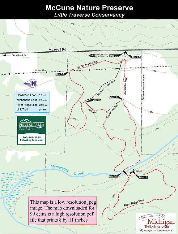
(This map is not geo-referenced)Trail Details
McCune Nature Preserve is a beautiful 168-acre tract located east of Petoskey in Emmet County. Originally homesteaded by Allan Purchis, the property was donated to the Little Traverse Conservancy in 1984 by Allan and Virginia McCune of Petoskey.
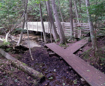
Harwood forests dominate the terrain but McCune also contains red pine plantations, open meadows and cedar swamps. The preserve’s most impressive feature, however, is its 3,400 feet of frontage along Minnehaha Creek. The spring-fed stream flows 10.5 miles from near the Emmet/Charleviox County border north to Crooked Lake, splitting McCune in half along the way. Its cold, clear waters support a brook trout fishery.
Winding through the preserve is a 2.4-mile network of trails that are divided into three loops. Departing from the trailhead are Hardwood Hike Trail, a 0.8-mile loop, and Minnehaha Trail, a 0.95-mile loop. Connected to Minnehaha Trail in the western half of the preserve is River Ridge Trail, a 0.7-mile loop. The route described below follows the perimeter of the trail system for a 2.1-mile outing.
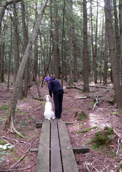
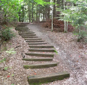
The trails, many of them former two-tracks cut by loggers, are easy to follow and well marked. In the winter they are well suited for snowshoeing and backcountry cross-country skiing but are not groomed. The parking area is plowed but keep in mind that the entrance is on a slope and can be slippery at times.
| Difficulty - Easy |
| Dog Friendly |
| Foot Path |
Geo-referenced maps from MichiganTrailMaps.com range from $1.99 to $2.99 each.
Download the Avenza app from the App Store or Google Play


