
Muncie Lakes Pathway
Buy the $.99 downloadable map!
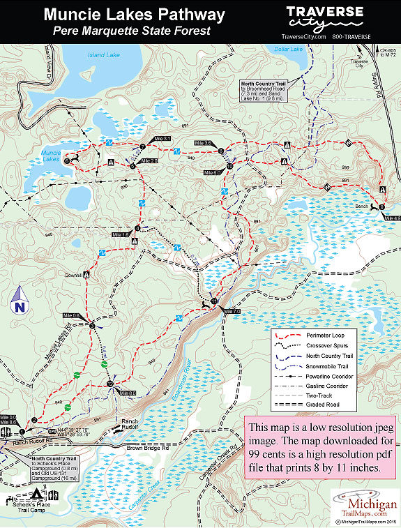
(This map is not geo-referenced)Trail Details


The area, a slice of the Pere Marquette State Forest that includes the scenic Muncie Lakes and the Boardman River Valley, is still covered with trails, including the North Country Trail, the Shore-to-Shore Horse Trail and Snowmobile Trail No. 5. Add gas and power line corridors and handful of old two tracks and you have a hardwood forest that is crisscrossed with paths and rutted dirt roads. But an emphasis on marking the various trails, particularly the pathway, keeps you on the right route and gets you back to your car before dark. In the winter Muncie Lakes is groomed with single track for classic skiing; in the summer mountain bikers are the predominate users of the pathway.
Muncie Lakes is primarily an 8.6-mile loop, the route that is described here, with four crossover spurs. Splitting it in half is Muncie Lake Road, a graded dirt road that mountain bikers and hikers can also utilize to shorten their outing.
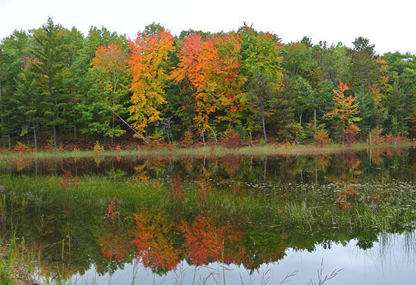
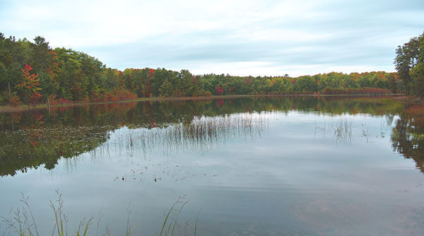
From the seat of a mountain bike much of the pathway is a beautiful single-track of rolling terrain through a mixture of hardwoods, pines and upland meadows. It can be a scenic ride, especially in October, as the trail winds past small lakes, follows ridges with views of the Boardman River Valley and descends to the trout stream itself, the same river that eventually makes its way through downtown Traverse City and into Grand Traverse Bay. The pathway is not technically challenging but cyclists do have to keep an eye out for numerous stretches of loose sand.
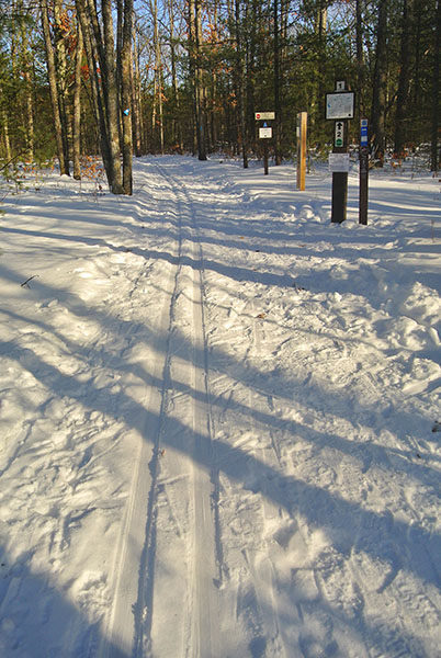
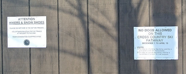
Cross country skiers will discover mostly easy to intermediate trails that includes numerous hills beyond post No. 3 but few that are death-defying with sharp grades or sudden change of directions. The exception is the back loop, from post No. 8 to No. 9 to No. 10, which features three long downhills and is rated most difficult. There is no designated direction of travel on the pathway but most skiers follow it in a clockwise direction, the same direction the numbered posts are laid out.
| Difficulty - Easy |
| Difficulty - Moderate |
| Dog Friendly |
| Groomed Classic Skiing |
| Mountain Bike Single Track |
| Multi-use Trail |
Geo-referenced maps from MichiganTrailMaps.com range from $1.99 to $2.99 each.
Download the Avenza app from the App Store or Google Play


