Oden Island Nature Preserve
Buy the $.99 downloadable map!
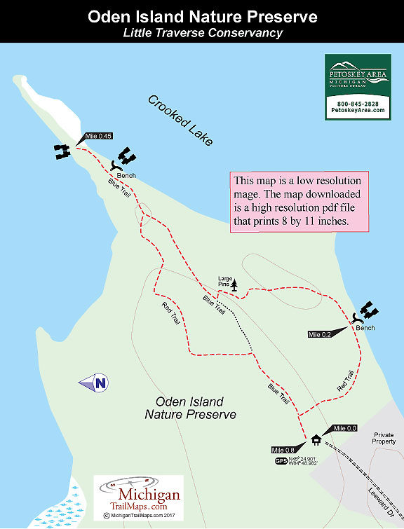
(This map is not geo-referenced)Trail Details
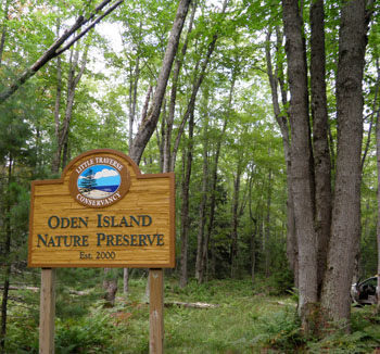
When a developer proposed crowding 34 homes on the east half of the island, the Conservancy orchestrated a response in 2000 that included an outpouring of support and donations from communities and families to protect the natural side of the island. In only three months $1 million was raised to purchase the land and create a nature preserve.
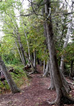
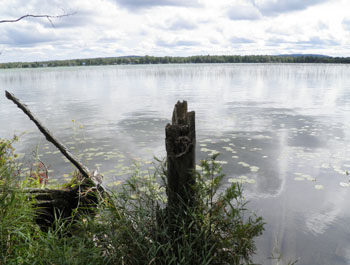
Today the 50-acre preserve offers a parking area, nearly a mile of foot trails, two trailside benches, and views along its mile of lake frontage.
Reached by a bridge, Oden Island lies in almost the center of the Crooked Lake. The 2,300-acre lake lies in the upper portion of the Inland Waterway, a 40-mile navigable waterway first used by Native Americans to paddle and portage from Lake Huron to Lake Michigan. The waterway is now popular with recreational boaters who can head northeast to Cheboygan via a system of lakes, rivers and locks while kayakers have turned the preserve into a destination for a one-mile paddle from Oden.
| Difficulty - Easy |
| Dog Friendly |
| Foot Path |
Geo-referenced maps from MichiganTrailMaps.com range from $1.99 to $2.99 each.
Download the Avenza app from the App Store or Google Play


