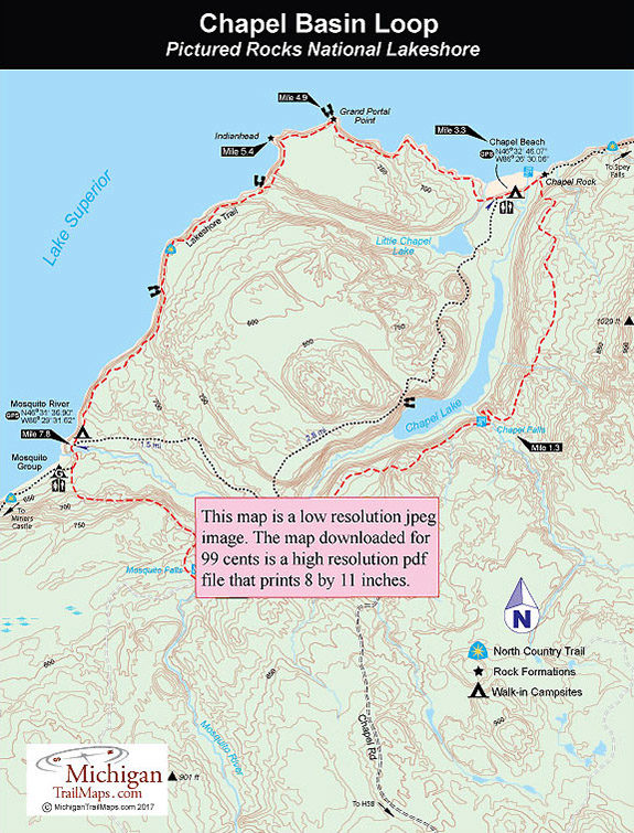
From the trailhead parking area you have a choice on how to reach Lake Superior and the Lakeshore Trail; Chapel Falls Trail or Chapel Lake Trail. The vast majority of people chose the trail that passes the falls.
Chapel Falls Trail begins as an old road that heads north into the woods and makes a gentle but steady half-mile climb through a dense woods. In less than a mile from the trailhead you reach an overlook where you can gaze at Chapel Lake below and at Mile 1.3 you arrive at Chapel Falls, one of the most impressive in the park.
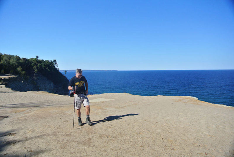
From the second observation deck at the falls, the trail swings north as a narrow path that uses planking to cross wet areas. In less than 2 miles from the falls or at Mile 3.1, you descend sharply to Chapel Rock and a view of Lake Superior. The sandstone pillar is impressive while just 0.2 mile to the west are the Chapel Beach campsites.
For backpackers arriving late in the afternoon at the trailhead, this is the ideal place to camp. The 15 campsites are located on a wooded bluff above Chapel Beach, a half mile of beautiful sand with colorful sandstone cliffs at one end and a waterfall leaping into Lake Superior at the other.
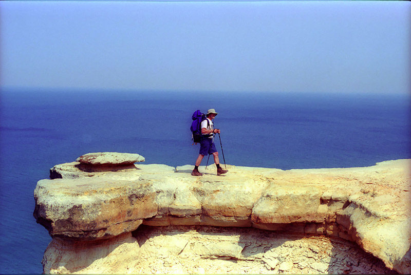
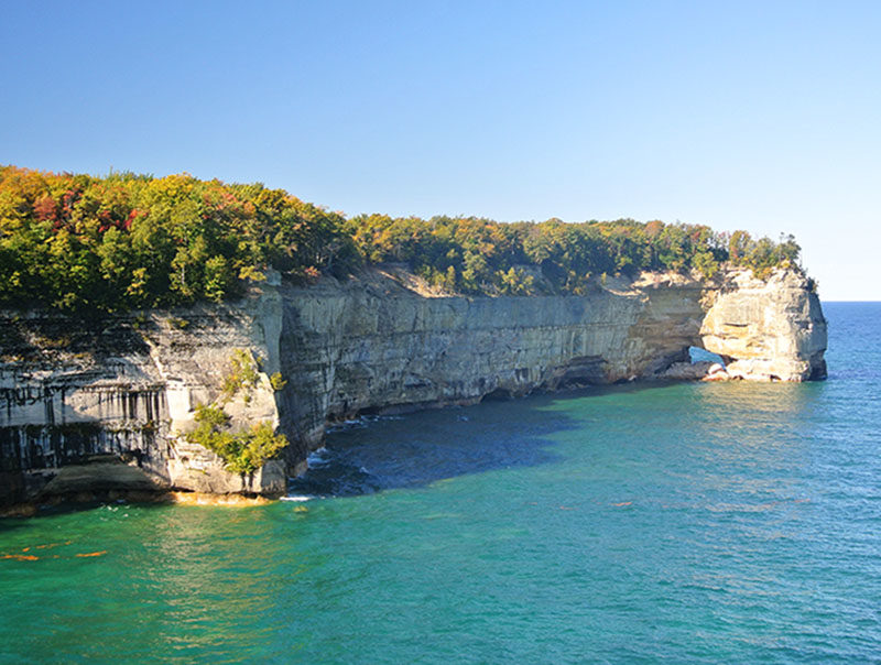
From Chapel Beach it is a 1.6-mile walk to Grand Portal Point and from there another 2.9 miles to Mosquito River. Along the way you pass some of the most stunning scenery in the park. Don\'t rush this segment. You reach Mosquito River backcountry campground at Mile 7.8 where there are 10 sites in the woods above the reddish rocky shoreline of Lake Superior. This is a beautiful place to spend the night as you can view towering Pictured Rocks in both directions of the shoreline.
There are two routes back to the Chapel parking lot with Mosquito River Trail being the shortest, a walk of less than 2 miles. Mosquito Falls Trail, one of the newest trails in the park, is longer at 2.7 miles but the extra mileage is worth it. This trail is much more interesting as it passes three cascades along the way, including its namesake waterfall.
From the campsites descend to cross the foot bridge over Mosquito River and to the well-posted junction of the Mosquito Falls Trail. Head south (left). The trail begins with a steady climb as you gain more than 150 feet in the first half mile. When you top off, the trail swings east for a spell and then resumes heading south.
At Mile 9.4, the trail descends a small ravine to cross a branch of the Mosquito River, climbs out.and then quickly reaches the main branch. You actually hike south past Mosquito Falls to cross the river further upstream and then hike north past them again. The main cascade is where the river slides and drops 10 feet over layers of black rock. Continue along the trail and you’ll spot two more smaller falls in the next 200 yards.
The trail continues north but eventually swings away from the river and at Mile 10 arrives at a junction with Mosquito River Trail. Head east (right) and within 200 yards you’ll arrive at a junction with Chapel Lake Trail. Head south (right) here and you’ll be back at your vehicle in a third of a mile.