Pinckney Recreation Area: Silver Lake Trail - Hiking
Buy the $.99 downloadable map!
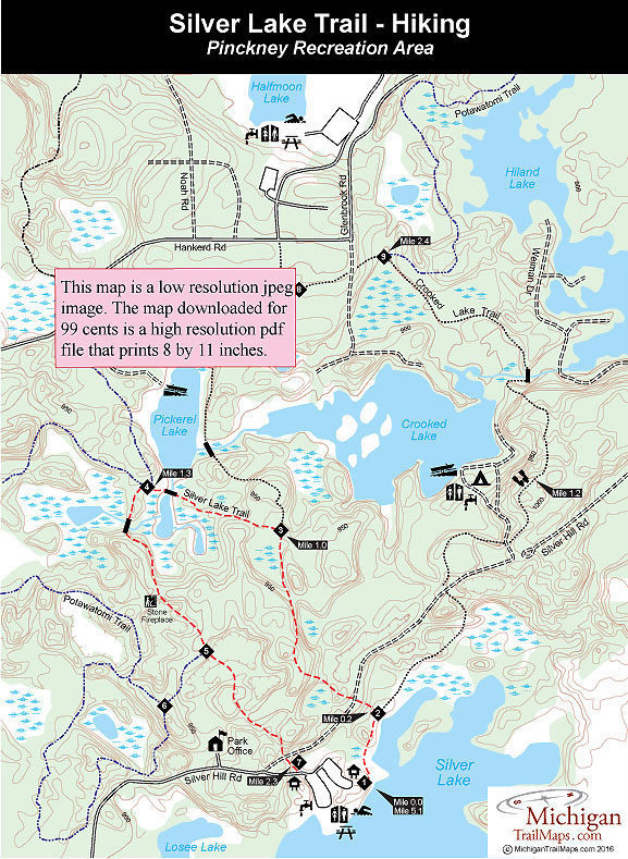
(This map is not geo-referenced)Trail Details


The Silver Lake Trail is labeled as a 1.9-mile loop but I’ve found it to be much closer to 2.3 miles. Even at this distance the trail is too short for most off-road cyclists so its spared the heavy numbers of mountain bikes seen on the Crooked Lake Trail and especially the Potawatomi Trail. Arrive during the day in the middle of the week and it’s possible to have the path to yourself and not see anybody, biker or hiker.
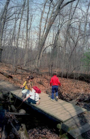
The Silver Lake Trail is worth putting up with an occasional trail rider for its exceptional scenery. This relatively short route includes views of three lakes, passes by a handful of ponds, and climbs several hills to make the walk invigorating as well as visually enjoyable. The trail can easily be hiked in tennis shoes.
The loop starts at the Silver Lake day-use area, where there is a swimming area, picnic tables, bathhouse, and grills. The path is wide and well marked, and there's not a house within sight the entire route, something that most trails in the southern half of the state can't claim. Wildflower enthusiasts will enjoy this hike most if they arrive from late April through early May.
| Camping |
| Difficulty - Easy |
| Dog Friendly |
| Multi-use Trail |
Geo-referenced maps from MichiganTrailMaps.com range from $1.99 to $2.99 each.
Download the Avenza app from the App Store or Google Play


