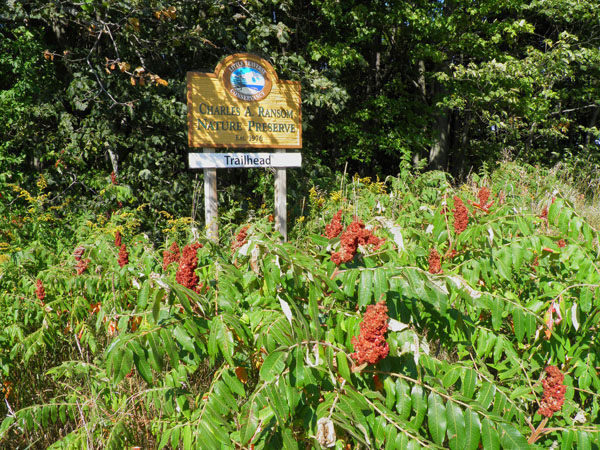
Ransom Nature Preserve
Buy the $.99 downloadable map!
(This map is not geo-referenced)Trail Details
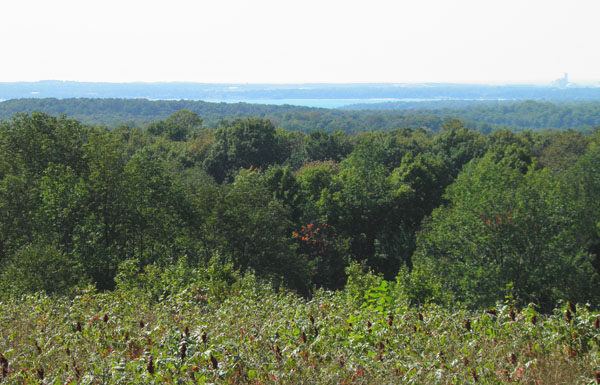

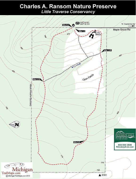
The best views at Charles A. Ransom Nature Preserve in Charlevoix County aren't along its trails but in the parking area, standing on your bumper if you can. The trailhead is located on the top of a ridge making it the highest point of this 80-acre preserve at an elevation of 973 feet, or 320 feet above Lake Michigan. Everything else is downhill including its trails.
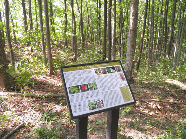
Donated to the Little Traverse Conservancy in 1976, the Ransom tract includes 1.5 miles of trails with the perimeter of the system forming a loop of 1.2 miles. Most of it is a walk in the woods dominated by ash and basswood sugar but there is 20 acres of grassy meadows and shrubs that was once a farm field. In the summer you can search the open area for wild blackberries and strawberries while in the spring the woods are filled with trillium. Needless to say, October is a particularly enjoyable time to visit the preserve due to the brilliant fall colors of the maples.
The preserve is open to mountain biking, horseback riding and cross country skiing as well as hiking. But keep in mind that the trail begins as a steady and sometimes steep drop of almost 200 feet in elevation in less than a half mile. This, and its limited mileage, discourages most mountain bikers and Nordic skiers.
| Difficulty - Easy |
| Difficulty - Moderate |
| Dog Friendly |
| Foot Path |
| Multi-use Trail |
Geo-referenced maps from MichiganTrailMaps.com range from $1.99 to $2.99 each.
Download the Avenza app from the App Store or Google Play


