Silver Creek Pathway

Buy the $.99 downloadable map!
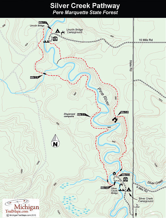
(This map is not geo-referenced)Trail Details
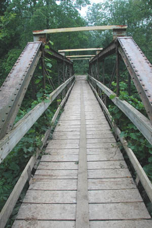
The first arrived in 1985 when the Department of Natural Resources purchased what was then the Baxter Bridge, a one-lane, iron-trestle structure the Michigan Department of Transportation was replacing across the Manistee River. The 80-foot-long bridge was moved south to the Pine River and renamed the Lincoln Bridge. Snowmobilers rejoiced immediately, using it as a link between the Cadillac-area trails and the Lincoln Hills Trail system.
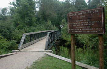
In 1988, the DNR used a donated bridge to span the Pine a second time, this one at Silver Creek State Forest Campground. With the bridges in place, the pathway was then extended, first north along the east bank of the Pine to Lincoln Hills State Forest Campground and then several years later along the west bank back to Silver Creek Bridge.
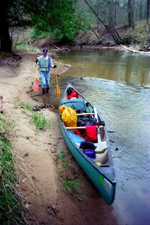
The result is a delightful loop that skirts both sides of the Pine. The blue-ribbon trout stream winds 3.5 miles between the two campgrounds and is considered by paddlers as the fastest river in the Lower Peninsula. In the summer, hikers skirt high bluffs, watching anglers fishing in the morning and evening and canoers and kayakers bobbing through the swift current in between. At one point along the west side, you are within view of the Pine for almost a mile, making the Silver Creek Pathway one of the finest river trails in Michigan.
The main trailhead is located in Silver Creek State Forest Campground, an excellent place for a weekend stay to hike and fish for rainbow trout. The more adventurous can bring a backpack and follow the west side of the loop to a handful of great spots for a backcountry campsite overlooking the river.
The trail is open to hikers and mountain bikers. At the north end the pathway comes close to the Lincoln Hills ATV Trail, a 35-mile system that also utilizes the Lincoln Bridge, making the Lincoln Bridge Campground a popular base camp for ORVers. But overall the motorized activity is kept at bay and the groups are well separated.
| Camping |
| Difficulty - Moderate |
| Dog Friendly |
| Multi-use Trail |
Geo-referenced maps from MichiganTrailMaps.com range from $1.99 to $2.99 each.
Download the Avenza app from the App Store or Google Play


