
Sleeping Bear Dunes: Bay View Trail

Buy the $.99 downloadable map!
(This map is not geo-referenced)Buy the Geo-referenced map
for use in the Avenza Maps App
Trail Details
Geo-referenced maps from MichiganTrailMaps.com are available through Avenza Maps and range from $1.99 to $2.99 each.
Download the Avenza app from the App Store or Google Play


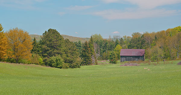

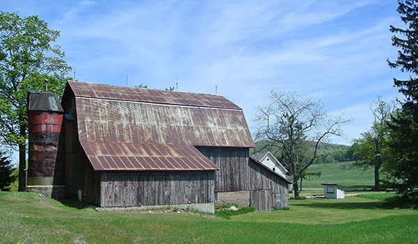
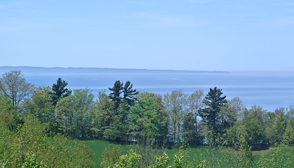
But uncrowded paths is only one of Bay View’s charms. The trail system passes through a mix of beech-maple forest, old farm fields and pine plantations while at its north end features historic barns, farmhouses and a one-room schoolhouse, many of which are being restored by the National Park Service. Being only one of three trails in the Port Oneida Rural Historic District (Pyramid Point and Sleeping Bear Heritage are the other two) allows Bay View to offer hikers historic charm as well as a stroll through meadows and woods. A fall trek here often makes for can be a delightful afternoon of spectacular autumn colors and no people.
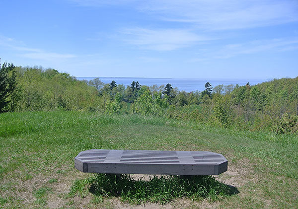
Who needs dunes?
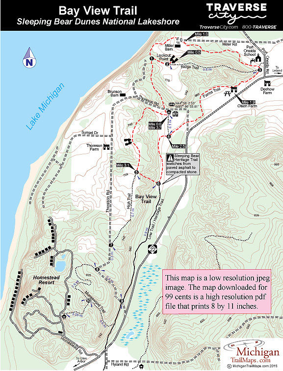
The four loops of Bay View total almost 8 miles with the premiere of the system being a 6.4-mile hike. For hikers the most popular loop by far is the northern half that includes Farms Trail, a side trip to Lookout Point and portions of Low Trail and High Trail for a 3.7-mile walk. This is the hike described here and includes several historic buildings and the most impressive terrain and views.
The main trailhead is on the north end of Thoreson Road, a quarter mile from M-22. The trail system can also be picked up from Olsen Farm, Miller Barn and Homestead Resort. In 2015 Low Trail and parts of Farms Trail were paved to be utilized as part of the Sleeping Bear Heritage Trail.
| Difficulty - Easy |
| Foot Path |
| Groomed Classic Skiing |
Geo-referenced maps from MichiganTrailMaps.com range from $1.99 to $2.99 each.
Download the Avenza app from the App Store or Google Play
