Wilderness State Park: O'Neal Lake Trail Loop

Buy the $.99 downloadable map!
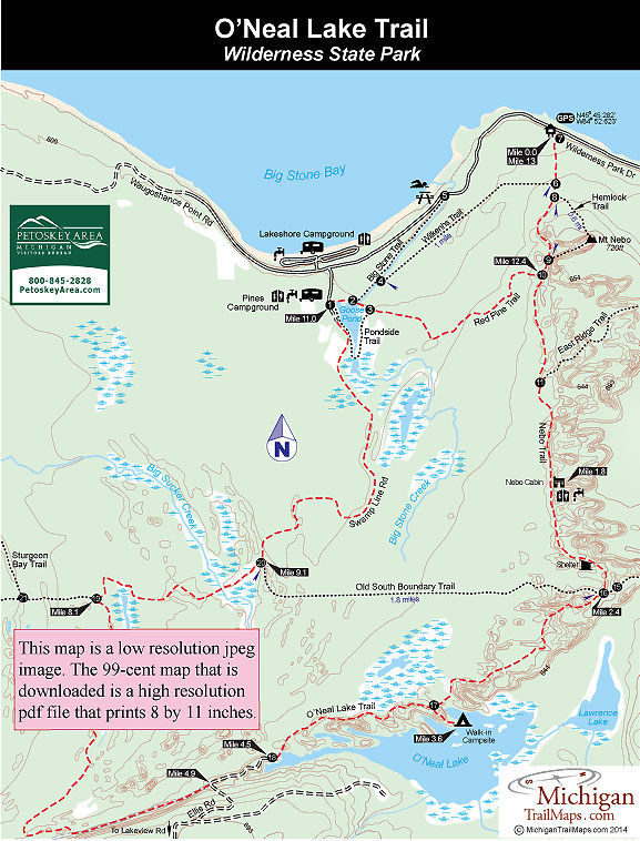
(This map is not geo-referenced)Trail Details

The largest piece of contiguous, undeveloped land in the Lower Peninsula is Wilderness State Park, a 10,500-acre tract that includes a rugged interior ranging from mature hardwood forests and vast wetlands to a high point called Mt. Nebo. Winding across this vast park is a 38-mile network of trails with 11.4 miles designated as part of the North Country Trail, the national trail that winds from North Dakota to New York.
Despite all the acreage and miles of trail, Wilderness didn’t become a haven for backpackers until 2008. That’s when the staff unveiled a pair of walk-in campsites located in two of the most remote corners of the park.
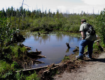
One of them is perched at the end of a point on the north shore of O’Neal Lake, a scenic campsite seemingly miles from anywhere that is well worth shouldering a backpack into. During the day here, there’s an abundance of waterfowl resting and feeding near the shoreline. In the evening you can cast for bluegills and bass. At night you can sit at the fire ring and watch the moon shimmer off the smooth surface of the lake.
The most natural loop and a perfect weekend outing for backpackers is the 13-mile trek described below that begins and ends at the Nebo Trailhead along Wilderness Park Drive. The first day would be a 3.6-mile walk to the campsite, with the second day a 9.6-mile trek back to trailhead. There are other ways to shorten the trek, including renting the classic Nebo Cabin for a round trip of only 4 miles from the trailhead, but overall you’ll find the terrain level, the hiking easy and the second day not excessively long.
A water filter is necessary for this trip as there is no source of safe drinking water at the walk-in campsites. Inspect repellent is also needed for any outing that occurs from late May through August. The numerous wetlands and small ponds are literally bug factories during the summer. October is by far the best month to hike this route.
| Camping |
| Difficulty - Moderate |
| Dog Friendly |
| Multi-use Trail |
| Two-Track |
Geo-referenced maps from MichiganTrailMaps.com range from $1.99 to $2.99 each.
Download the Avenza app from the App Store or Google Play


