Yankee Springs RA: Hall Lake Trail
Buy the $.99 downloadable map!
(This map is not geo-referenced)Trail Details
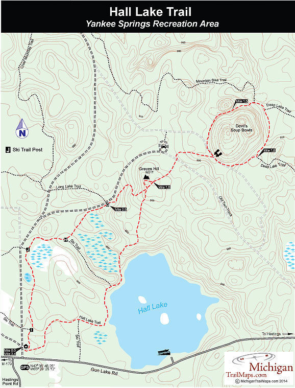
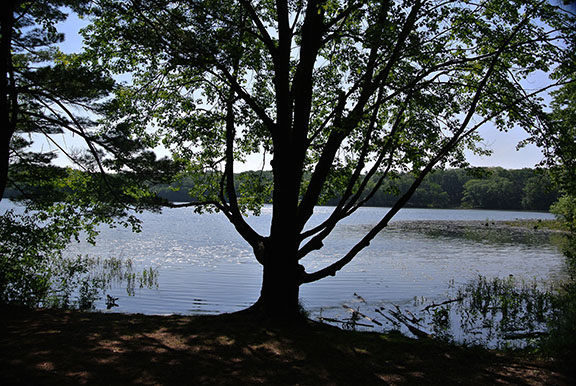

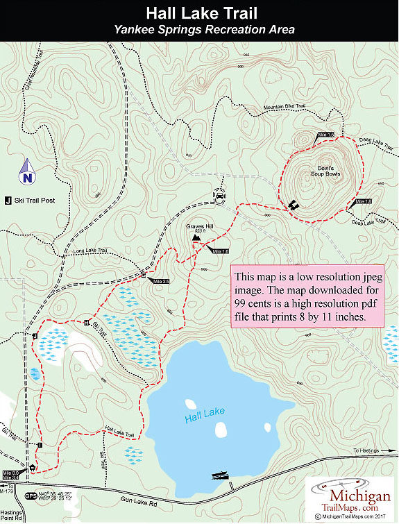
Yankee Springs has more than 16 miles of designated hiking trails but few of the routes are loops. One of the few that is, Hall Lake Trail, is also one of the more scenic walks in the park when combined with the connector to the Devil Soup Bowls for a 3.4-mile outing. There is no longer an overlook from Graves Hill, foliage now blocks out all views except in late fall and winter, but the Soup Bowls are interesting and the hike along Hall Lake scenic.
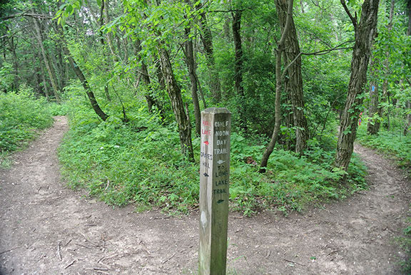
Although there is a bit of climbing to Graves Hill and around the Soup Bowls, the trails are wide, well posted and can be easily hiked in running shoes. There are lots of wildflowers and trees to identify, but don’t expect to encounter much wildlife in midsummer. With more than 700,000 visitors annually to this 5,200-acre state park, you can bet that the residents of the woods remain well hidden during the day.
| Camping |
| Dog Friendly |
| Foot Path |
Geo-referenced maps from MichiganTrailMaps.com range from $1.99 to $2.99 each.
Download the Avenza app from the App Store or Google Play


