Shaving a Mile Off a Day’s Hike
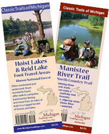
The new Manistee River Trail and Hoist Lake Foot Travel Area maps from MichiganTrailMaps.com
In our latest Trail Mix e-Newsletter, Jim DuFresne pondered how far he’s willing to go to shave a mile from a day’s hike (with a backpack on no less). It drew considerable response so we’re reprinting that portion of the newsletter as a Trail Talk blog. It’s for those of you who haven’t gotten around to subscribing to our wonderful e-newsletter.
Don’t forget MichiganTrailMaps.com just released another new map, the second edition of the Manistee River Trail, a 23-mile loop that includes a portion of the North Country Trail. The new map is totally updated and more detailed than ever and comes a month after the release of our Hoist Lakes & Reid Lakes Foot Travel Areas map. You can order either or both through our eshop.
By Jim DuFresne
Judging from the boot prints in the mud, I wasn’t the only one who debated and then decided to take a chance on the Jordan River Pathway.

Jim DuFresne
The dilemma was whether to take the new reroute around the wetlands – an uphill climb that added 0.8 miles to first-day trek to Pinney Bridge Campground – or stick with the original trail and see if I could make it without sinking up to my knees in marsh mud.
Clip a mile from the hike? I’ll take my chances on the old boardwalk in the wetlands.
This backpacker’s paradox is the result of over-active beavers and a damaged foot bridge. When the bridge went out in 2014 the DNR quickly posted a detour around the area. After descending almost 400 feet from Deadman’s Hill Trailhead, hikers had to re-climb the ridge via the 3-mile loop spur and then descend it again.
That was a lot of elevation just to keep your boots dry.
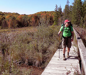
A hiker crossing the old boardwalk along the Jordan River Pathway.
So last year the Jordan Valley 45° Chapter of the North Country Trail Association explored, marked and cut a new segment of trail to serve as a reroute around the hazardous wetlands. It’s a huge improvement over the detour. But you still have to climb a bit, about 100 feet, and it’s just enough to make some of us – especially those hauling frozen steaks and a box of wine in our pack – to pause and ponder the alternative.
The first time I took the reroute. The second time I chanced it.
Just a 100 yards past the 3-mile loop junction, the new trail splits off to the left. I picked up the original trail and entered the wetlands area. Nervously I might add.
You begin with two stretches of boardwalk and they seemed in relatively good shape. But along the second one you hike along the base of a huge beaver dam that towers four feet above the planking. Mother Nature’s little engineer been busy I thought. If that dam ever collapsed, the boardwalk would be impassible.
But it was holding up nicely. Thank you very much.
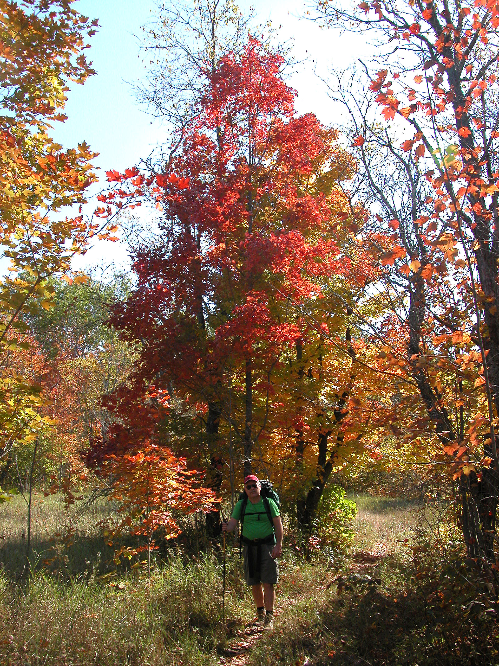
Fall colors along the Jordan River Pathway.
I pushed ahead and within a half mile from the junction I had arrived at the bridge. It was clearly damaged, complete with some yellow caution tape as if it was a crime scene for a doomed backpacker. The first two spans partially collapsed into a V, just inches above the sluggish stream the bridge crosses. But they seemed stabled as I tiptoed my way across.
It was the third one that was wobbly. It wiggled so much that halfway across I had one of those moments where I froze, not knowing whether to continue or retreat. I slowly crossed but was ready with my walking staff extended in case I suddenly found myself in the stream.
I made it to the other side with clean boots and socks but am not sure if I would do it again. I suppose you could ford the stream but it looks like a boot-sucking quagmire where you’d be up to your knees before you knew it.
Someday the bridge will simply collapse or be removed due to liability concerns. In that case the reroute is a fine replacement.
But until then, as the boot prints clearly indicate, there will be backpackers asking themselves that eternal Clint Eastwood line from his Dirty Harry movie.
“You’ve got to ask yourself one question: Do I feel lucky today?”
For a map of the new Jordan River Reroute go to our web page on the Jordan River Pathway.

