
Fruithaven Nature Preserve

Buy the $.99 downloadable map!
(This map is not geo-referenced)Buy the Geo-referenced map
for use in the Avenza Maps App
Trail Details
Geo-referenced maps from MichiganTrailMaps.com are available through Avenza Maps and range from $1.99 to $2.99 each.
Download the Avenza app from the App Store or Google Play


Sparing the area from commercial development was paramount to the Grand Traverse Regional Land Conservancy (GTRLC). The conservancy first convinced the family to apply for Purchase of Development Rights funds through the state of Michigan. But when the application process dragged on, GTRLC stepped in and purchased the property. Eventually, the development rights to 360 acres of farmland were sold to ensure the land stays in agricultural production. But 176 acres was designated as Fruithaven Forest Reserve, now known as Fruithaven Nature Preserve.
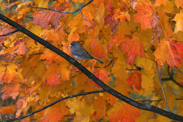
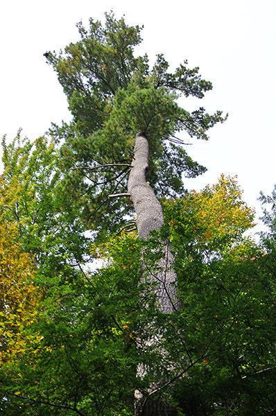
Fruithaven is linked with GTRLC’s Upper Herring Lake Nature Preserve — together they protect 256 acres of the Herring Lakes Watershed. Other than an old farm field and the hardwood wetlands in the Herring Creek floodplain, Fruithaven is a broken terrain of ridges and valleys covered by a mesic northern forest of predominately sugar maples, American beech and hemlocks. Wildlife that might be encountered ranges from whitetail deer and coyotes to wild turkeys, indigo buntings and pileated woodpeckers.
Originally, Fruithaven was accessed by nearly 2 miles of existing two-tracks. But the old forest roads were poorly marked, hard to follow and required backtracking. In 2014, a 0.7-mile loop was built from the trailhead on Herron Road that utilizes only a short segment of a two-track. While the loop features almost 100 feet in elevation, the climbs are gentle and reward hikers, and snowshoers, with a glimpse of the wetlands that Herring Creek flows through.
| Difficulty - Easy |
| Foot Path |
Geo-referenced maps from MichiganTrailMaps.com range from $1.99 to $2.99 each.
Download the Avenza app from the App Store or Google Play
