Orion Oaks: Perimeter Loop

Buy the $.99 downloadable map!
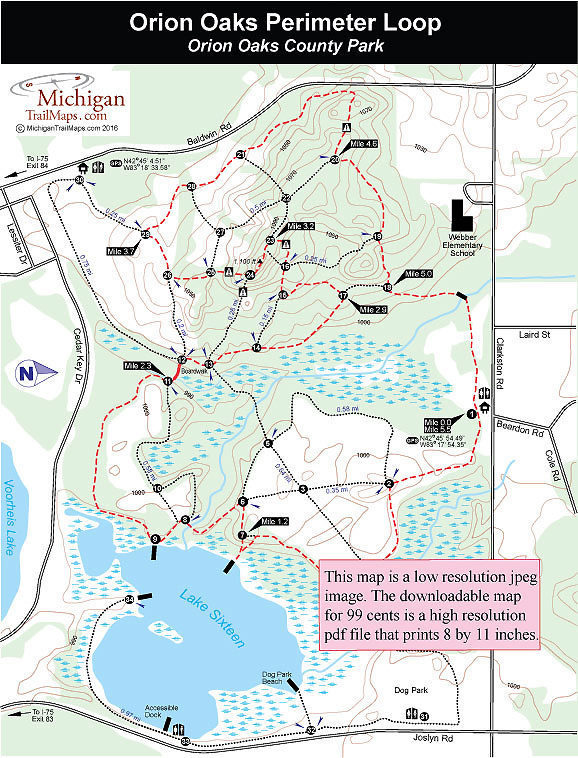
(This map is not geo-referenced)Trail Details
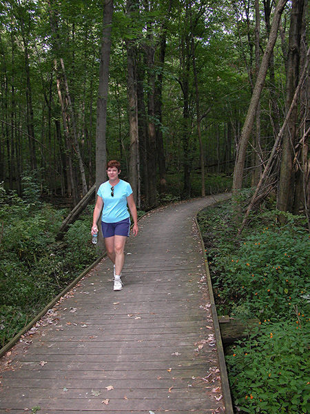

This route is a modified version of the Orion Oaks Achievement Trail. It begins and ends at the Clarkston Road trailhead and cuts out the one-way spur from the Joslyn Road trailhead to post No. 4. This reduces the loop to 5.5 miles, eliminates backtracking, avoids the popular dog bark but still includes all of the park’s most interesting corners, including the impressive pines between posts No. 11 and No. 12 and the backside of Lake Sixteen.
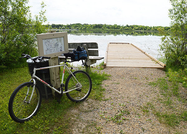
You can also begin at a Baldwin Road parking area for a 6-mile outing. On many days there will be as many mountain bikers on the trails as there are hikers and in the winter snowshoers and cross country skiers arrive even though the trails are not tracked and groomed like they are in nearby Indepedence Oaks County Park.
Overall these trails are moderately easy. Fast hikers can cover it in 90 minutes. Mountain bikers even less time. But why hurry? On a pleasant day this is a great afternoon outing where there are many places to stop and enjoy the scenery in front of you whether the clear waters of Lake Sixteen, wildflowers bursting in color throughout a wetland in the spring or a partial view from a 1,100-foot ridge in late fall or winter.
| Difficulty - Moderate |
| Dog Friendly |
| Mountain Bike Single Track |
| Multi-use Trail |
Geo-referenced maps from MichiganTrailMaps.com range from $1.99 to $2.99 each.
Download the Avenza app from the App Store or Google Play


